Loading...

Phantom 4 RTK

NewDJI

Phantom 4 RTK

Phantom 4 RTK | ໂດຣນສ້າງແຜນທີ່ RTK ທີ່ສາມາດບອກຕຳແໜ່ງໄດ້ໃນລະດັບຊັງຕີແມັດ ພ້ອມບອກຂໍ້ມູນຕຳແໜ່ງຢ່າງແມ້ນຢຳດ້ວຍ TimeSynce

ເຊັນເຊີກ້ອງ 1" CMOS

ຄວາມລະອຽດວິດິໂອ 4K: 3840*2160 30p

ເວລາບິນສູງສຸດ 30 ນາທີ (ບໍ່ມີລົມ)

ໄລຍະສົ່ງສັນຍານ 7km

ຮະບົບ RTK ບອກຕຳແໜ່ງລະດັບຊັງຕີແມັດ

ລະບົບ TimeSynce ບອກຂໍ້ມູນທີ່ແມ້ນຢຳຫຼາຍຂຶ້ນ

ຣີໂໝດຄວບຄຸມພ້ອມໜ້າຈໍ 5.5-inch 1080p

ຮອງຮັບ Memory card ສູງສຸດ 128GB

Social media:

Features

Image

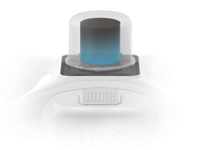
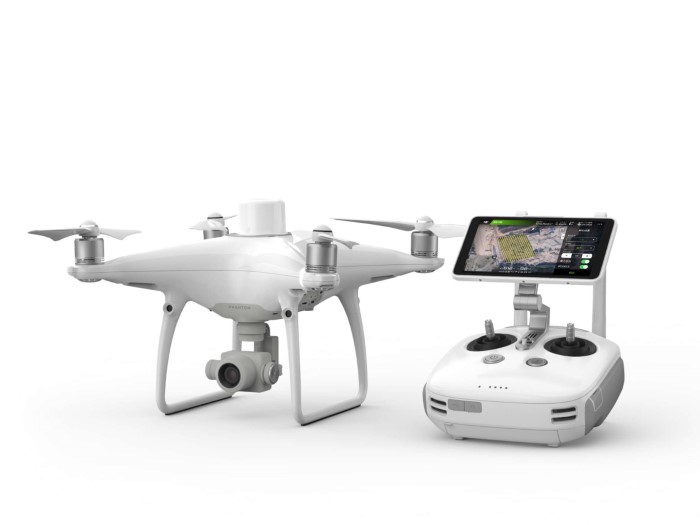
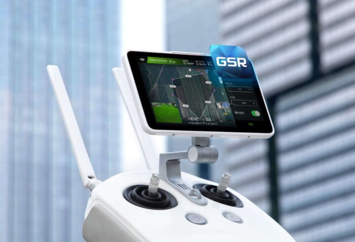
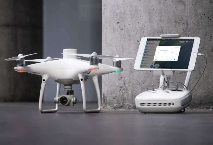
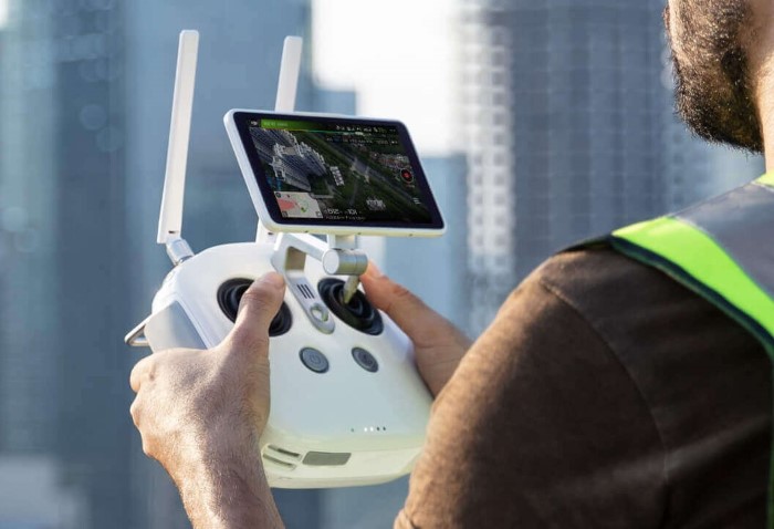
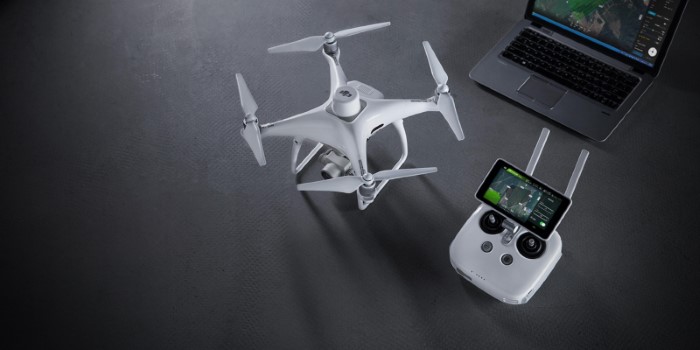
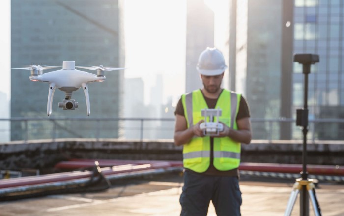
Next Generation Mapping

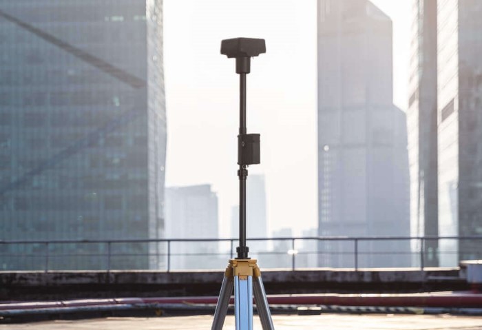
DJI has rethought its drone technology from the ground-up, revolutionizing its systems to achieve a new standard for drone accuracy – offering Phantom 4 RTK customers centimeter-accurate data while requiring fewer ground control points.

Image

Centimeter-Level Positioning System

A new RTK module is integrated directly into the Phantom 4 RTK, providing real-time, centimeter-level positioning data for improved absolute accuracy on image metadata. In addition to optimized flight safety and precise data collection, the Phantom 4 RTK stores satellite observation data to be used for Post Processed Kinematics (PPK), which can be conducted using DJI Cloud PPK Service*. Fit the Phantom 4 RTK to any workflow, with the ability to connect this positioning system to the D-RTK 2 High Precision GNSS Mobile Station, or NTRIP (Network Transport of RTCM via Internet Protocol) using a 4G dongle or WiFi hotspot.

Image

Gather Accurate Data with TimeSync

To take full advantage of the Phantom 4 RTK's positioning modules, the new TimeSync system was created to continually align the flight controller, camera and RTK module. Additionally, TimeSync ensures each photo uses the most accurate metadata and fixes the positioning data to optical center of the lens - optimizing the results from photogrammetric methods and letting the image achieve centimeter-level positioning data.

Image

Precise Imaging System

Capture the best image data with a 1-inch, 20-megapixel CMOS sensor. Mechanical shutter makes mapping missions or regular data capture seamless as the Phantom 4 RTK can move while taking pictures without the risk of rolling shutter blur. Due to the high resolution, the Phantom 4 RTK can achieve a ground sample distance (GSD) of 2.74 cm at 100 meters flight altitude.To ensure each Phantom 4 RTK offers unparalleled accuracy, every single camera lens goes through a rigorous calibration process, with parameters saved into each image's metadata, letting post-processing software adjust uniquely for every user.

Image

Built for Surveyors

Offering a range of control schemes and complimentary technologies, the DJI Phantom 4 RTK is developed to provide survey-grade results with greater efficiency than ever before.

Image

Purpose-Built Application

A new DJI GS RTK app and Remote Controller with built-in screen, giving users a streamlined control scheme for surveying missions and other data acquisition scenarios.The GS RTK app allows pilots to intelligently control their Phantom 4 RTK, with multiple planning modes, including Photogrammetry (2D and 3D), Waypoint Flight, Terrain Awareness, Block Segmentation*, and more. Users can also import KML/KMZ files to optimize the workflow for their missions.With the built-in screen, pilots can clearly view and plan their missions on an ultra-bright, 5.5-inch HD display.

Image

Access a Variety of 3rd Party Applications

Pilots with experience using 3rd party apps on DJI drones can access the world's leading drone app ecosystem for their Phantom 4 RTK with the SDK Remote Controller. Users can plug in a compatible Android or iOS device and install any compatible DJI Mobile SDK-enabled app to harness the full power of their Phantom 4 RTK.

Image

OcuSync Transmission System

Enjoy stable and reliable HD image and video transmission at distances of up to 7 km, great for mapping larger sites*.

Image

Seamless Compatibility with D-RTK 2 Mobile Station

Support your Phantom 4 RTK missions with the D-RTK 2 Mobile Station – providing real-time differential data to the drone and forming an accurate surveying solution, or acquire accurate location coordinates when used as an RTK rover. The Mobile Station’s rugged design and OcuSync transmission system ensures you can gain centimeter-level accurate data with your Phantom 4 RTK in any condition.

Image

Start Mapping Today

With a built-in flight planning app (GS RTK) and an easy method to collect RTK data (RTK Network or D-RTK 2 Mobile Station), pilots have a full solution for any surveying, mapping or inspection workflow - right out of the box.


DJI Enterprise Phantom 4 RTK - Compact Mapping Drone

Drone technology has helped the construction industry boost productivity and digitize workflows. The all-new DJI Phantom 4 RTK is the tool that takes construction mapping to a new level. Exceptional surveying deliverables can be achieved thanks to its built-in centimeter-level navigation and positioning system, as well as the high-performance imaging system that supports both RTK and PPK.